
GeoCue

See All Stories

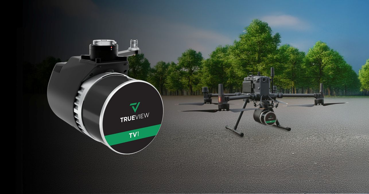
New GeoCue LiDAR sensor expands NDAA-compliant drone options

geocue TrueView 3D LiDAR Sensor

GeoCue made a strong statement at INTERGEO 2025 in Frankfurt, unveiling three major innovations. From a new NDAA-compliant aerial LiDAR sensor to immersive 3D visualization features in LP360 software, GeoCue’s latest developments are all about helping drone operators, surveyors, and engineers extract richer insights — and value — from their data.

Expand Expanding Close

GeoCue unveils TV1 Lite and TV1 drone LiDAR systems

geocue tv1 DJI 350 Drone lidar system

GeoCue is making high-precision drone LiDAR more affordable and accessible with the launch of two new survey-grade scanners: the TrueView 1 Lite (TV1 Lite) and TrueView 1 (TV1). These cutting-edge additions to the TrueView lineup are designed to help professionals of all levels harness the power of LiDAR without breaking the bank.

Expand Expanding Close

Xer X8 drone integrates GeoCue LiDAR sensor

Xer X8 drone geocue trueView 720 lidar

LiDAR mapping specialist GeoCue and Swiss drone manufacturer Xer Technologies are joining forces to make large-scale surveying and mapping easier for professionals. The two companies are integrating GeoCue’s TrueView 720 LiDAR and imagery sensor with Xer’s X8 drone, creating a tool to make aerial mapping faster, more accurate, and more accessible.

Expand Expanding Close