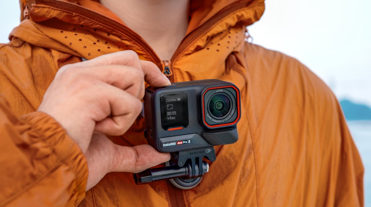
Ace Pro 3 next? Insta360, Leica extend their camera partnership

Insta360 and Leica are back at it! The two imaging powerhouses just renewed their partnership, hinting that the Insta360 Ace Pro 3 — or something just as epic — could be on the horizon. After the success of the Insta360 Ace Pro and the new Ace Pro 2, this extended collaboration promises even more cutting-edge action cameras in the near future.
Expand Expanding Close