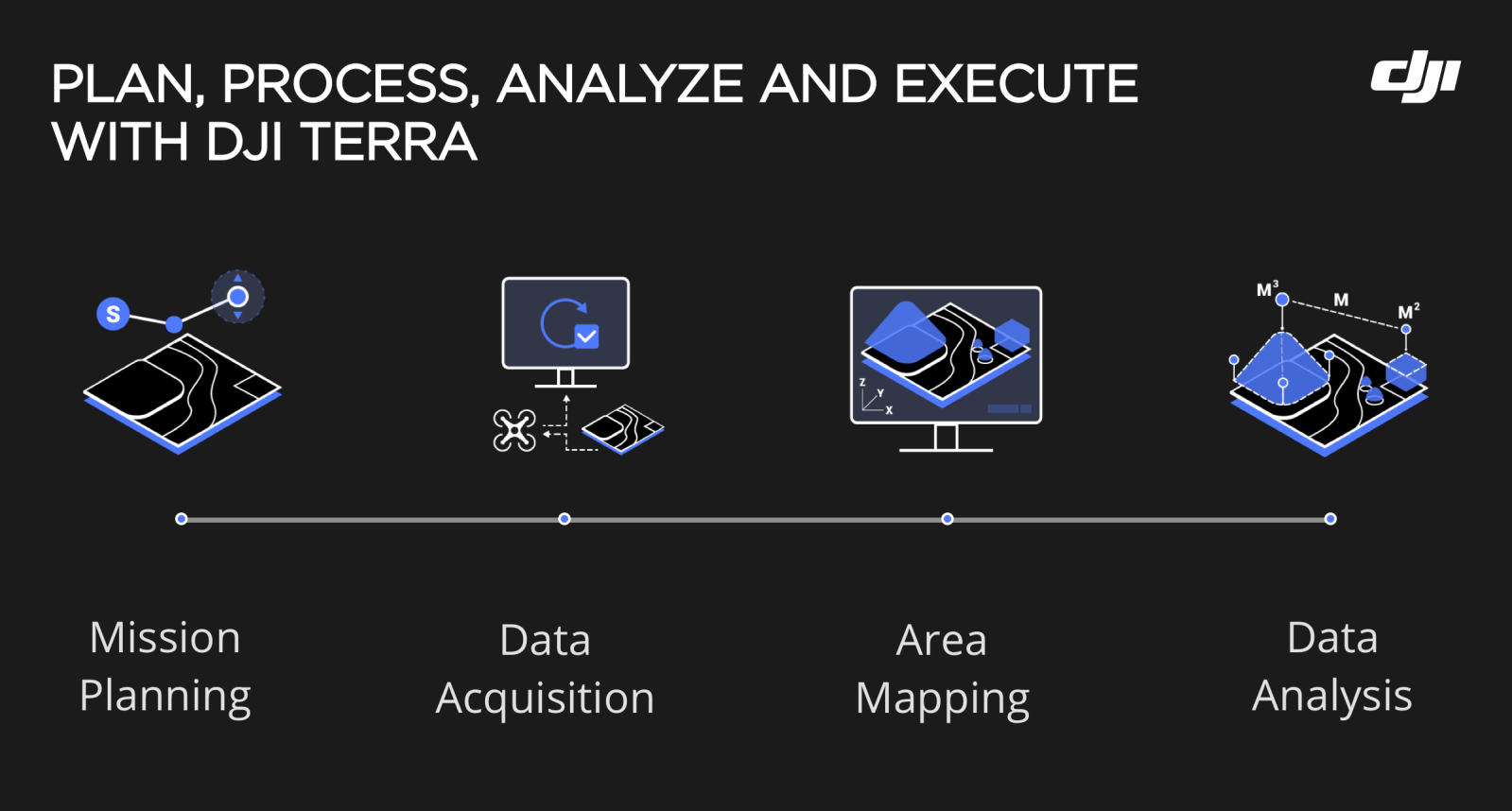
Terra, the all-in-one drone mapping solution from DJI, has been updated yet again to enhance both the product features as well as the data processing speed. Version 3.6.0 of the software brings rapid improvements to LiDAR point cloud missions and a 10% increase in computational efficiency of 2D reconstructions compared to previous DJI Terra versions.
Here’s everything that has been added, updated, or fixed with Terra’s latest build package…
What’s New
- Visible light reconstruction supports inputting intrinsic camera parameters to adapt to third-party cameras.
- Supports pre-setting or fixing intrinsic camera parameters to fix the issue where reconstruction output is poor due to inaccurate intrinsic camera parameters.
- Supports “Smooth Point Cloud” function to improve LiDAR point cloud extraction effects when the point cloud is too thick.
- Supports “Accuracy Check” in LiDAR Point Cloud Mission. After users import a checkpoint file, a quality report is automatically generated to check the point cloud output accuracy.
- Supports using physical distance for sampling on point cloud density in LiDAR Point Cloud Mission.
- Supports setting “Distance to Ground/Subjects” in standalone reconstruction.
- Supports selecting geoid files for vertical coordinate system NAVD88 (ft) or NAVD88 (ftUS).
Read: DJI flyaway reporting process: What to do if your drone flies away
What’s updated
- Increased standalone computation efficiency by 10% for 2D reconstruction compared with v3.5.5 version.
- Optimized reconstruction effects for water surfaces, which has reduced missed or inaccurate identification and improved identification for water reflections (For example, holes may exist in the reconstruction output when using an earlier software version).
- Split the setting “Light Uniformity/Haze Reduction” to “Light Uniformity” and “Haze Reduction.”
- Optimized the display issue for the EPSG hover message when selecting a geoid file in Vertical Datum Settings.
- Optimized size of 2D tiles by compressing them to one-third of the original size.
- Optimized the color consistency of the 2D reconstruction output when using a data source with large light differences.
- Optimized user experiences for Windows 11 (64-bit) operating system.
- Optimized the stability for real-time reconstruction and the consistency for reconstruction accuracy and color.
- Optimized the reconstruction speed for LiDAR Point Cloud missions under certain output coordinate systems.
- Optimized file directory for cluster reconstruction. For v3.6.0 and later versions, files used for cluster computation cannot be saved locally and must be saved to the shared directory which is accessible to all worker devices (using network path recommended. Example: \192.168.0.2\terra). In this way, Terra doesn’t need to copy reconstruction files to the shared directory and copy distortion-corrected images and reconstruction output to the computer, which saves time consumed by copying files during cluster reconstruction.
Read: Litchi app update fixes takeoff error for DJI Air 2S drone
What’s fixed
- Fixed the display issue where the names of visible light and multispectral photos are too long.
- Fixed the issue where the measurement point will automatically move to another location when marking it in a 3D Model.
- Fixed the issue where photo data cannot be imported to DJI Terra when creating a new mission as Terra is open and not closed for a long time.
For complete release notes, click here.
Read: DJI urges drone pilots to update apps before map services overhaul
FTC: We use income earning auto affiliate links. More.
You’re reading DroneDJ — experts who break news about DJI and the wider drone ecosystem, day after day. Be sure to check out our homepage for all the latest news, and follow DroneDJ on Twitter, Facebook, and LinkedIn to stay in the loop. Don’t know where to start? Check out our exclusive stories, reviews, how-tos, and subscribe to our YouTube channel.


Comments