The DroneDeploy Flight app for the DJI Mavic 3 Enterprise has received a fresh update to enable autonomous RTK flights for DJI’s newest flagship enterprise drone.
Mavic 3E is a portable commercial drone, designed primarily for mapping and surveying functions. It comes with a high-resolution 20MP camera, support for network RTK, increased flight time, and a mechanical shutter.
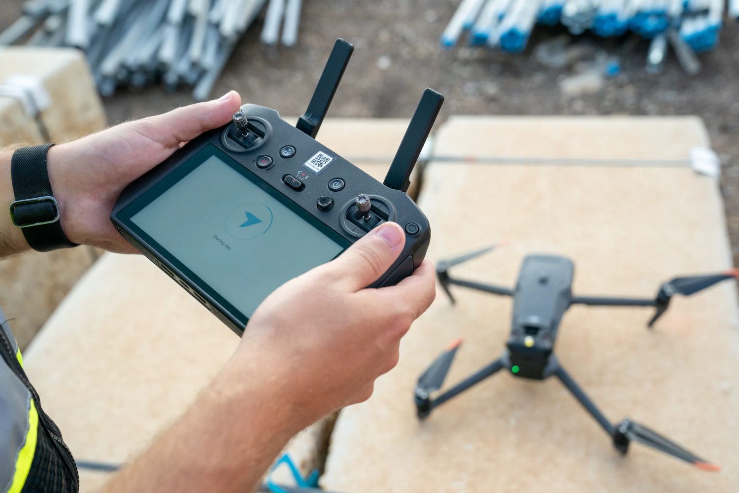
Earlier this year, DroneDeploy released a new flight application for the Mavic 3E that could be downloaded directly to the RC Pro Enterprise remote controller from the Amazon Appstore.
This app has now been updated to empower users of the DroneDeploy flight automation platform to easily plan autonomous missions without GCPs or time-consuming manual methods, and create maps accurate to less than an inch.
RTK drone data is useful for a variety of applications, including high-accuracy mapping for site planning and reclamation, accurate pipeline mapping and right-of-way monitoring, as well as precision mapping for consistent change-over-time inspections.
Read: DJI teases new product with triple-lens camera. Mavic 3 Pro drone incoming?
DroneDeploy explains that its app automatically connects to local high-accuracy corrections networks for free, providing reliable RTK coverage across the US. You don’t need any external credentials or additional apps to leverage this functionality. Simply power on the drone equipped with an RTK module and open the DroneDeploy app to select the map plan you’d like to fly.
Alternatively, you can plan your flight before going into the field using DroneDeploy desktop flight planning, including RTK availability confirmation for your project.
That’s not all. In early May, DroneDeploy will also be rolling out Vertical Datum support for surveyors. RTK data uploaded to DroneDeploy will be automatically converted to ITRF2014 ellipsoidal height to local orthometric height, using the most up-to-date local Geoid Model. This will enable customers to immediately compare RTK data over time, or to engineering design data in State Plane and NAVD88.
Read: Drone Harmony iOS flight planning app update brings new features
FTC: We use income earning auto affiliate links. More.


Comments