Uncrewed traffic management (UTM) specialist AirMatrix says it has received funding to map cellular signal data up to 1,000 feet. The company’s new research project will eventually help to set up the necessary telecom infrastructure for passenger air taxis and drones carrying heavy payloads above 400 feet.
The National Research Council of Canada Industrial Research Assistance Program (NRC IRAP) has roped in Toronto-headquartered AirMatrix for its new development project seeking to enhance cellular signal mapping capabilities from 400 up to 1,000 feet. The aim is to enable drones and urban area mobility to scale safely and economically in complex airspace.
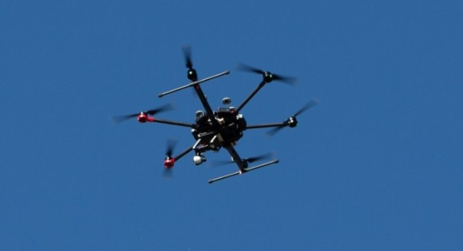
AirMatrix, whose software allows for the creation of precise autonomous drone roads, is deploying systems in cities to give drone operators the necessary data sets required by regulators. Its new project, meanwhile, involves collecting telecommunications strength data at higher altitudes in the Canadian city of Calgary. This data is crucial for drone operators to plan their flights safely.
Read: New sensor for DJI drones can identify flowers, water vegetation
AirMatrix explains that many companies will benefit from its research, including telecom providers, low Earth orbit satellite companies, and urban aerial mobility providers. Since the project will provide valuable data up to 1,000 feet, it will help to open up new use cases. And as a result, telecom providers will be able to optimize their network coverage and improve communication for emerging technologies such as drones and passenger air taxis.
Bashir Khan, founder and CEO of AirMatrix, says, “The support from NRC IRAP will help us develop the technologies and data sets needed to enable drones and urban area mobility to scale safely and economically in complex airspace. We are excited to collaborate with Transport Canada and regulatory bodies in the US to help set the standards for these data feeds and to help build the necessary infrastructure to support higher airspace.”
Read: Last week to save $150 on DJI Air 2S drone
FTC: We use income earning auto affiliate links. More.


Comments