Skyports Drone Services has announced what it called breakthrough aerial testing of remote water quality monitoring, in partnership with fellow UK tech startup Makutu and the Northumbrian Water utility.
Skyports said it completed initial test flights in a project with data analytics and science company Makutu, whose artificial intelligence-enhanced sensor was deployed from a drone to take water samples from remote sources. The London-based UAV services specialist said the effort aims to establish the effective, cost-cutting, and safe use of aerial craft in beyond visual line of sight (BVLOS) flights to monitor the quality of rivers, lakes, reservoirs, and even coastal waters.
Better known for its diverse drone delivery activities for enterprises, public administrations, medical, and humanitarian groups, Skyports said the project seeks to demonstrate the utility of automated water quality surveys of remote and hard-to-reach areas.
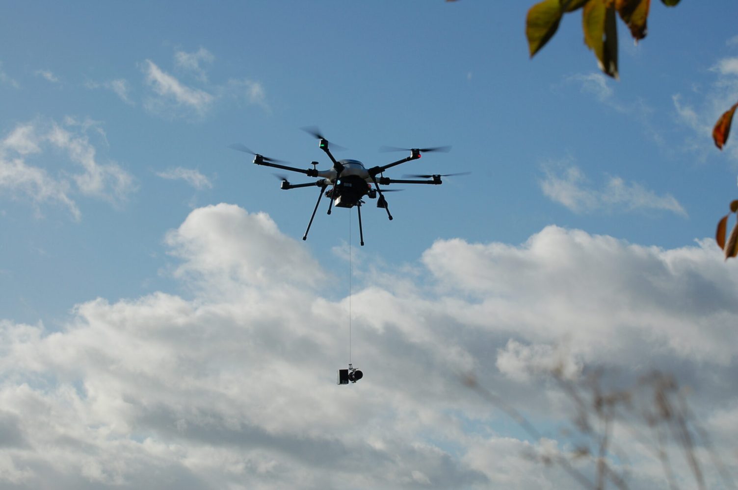
In contrast to existing manual collection methods – which in addition to being time-consuming, laborious, and in some settings dangerous – UAVs equipped with the Makutu testing solution can rapidly collect samples from many sources in a single mission. The device is transported from a winch, and is lowered into bodies of water to be tested during flights originating from remote bases.
Slicker still, Skyports added, sensors fitted in the sample gathering mechanism can process analyses and transmit the results back to Northumbrian Water technicians, permitting as many sources to be tested as the drone’s battery capacity allows.
The trials mark further expansion in Skyports’ varied drone services activities.
“Water quality is a hugely important issue in the UK,” explained Alex Brown, director of Skyports Drone Services. “The unique solution we’ve developed with Makutu provides water companies with critical real-time data, enabling better monitoring, maintenance, and faster response to issues. With Northumbrian Water alone covering an area of 9,400km2, the potential positive impact to the environment, to field personnel, and to the communities that access these river and coastal locations is enormous.”
Flights in phase one proof-of-concept trials in the northeast UK have used ground observers, with the second level to test fully remote BVLOS sorties to scale operations across areas with multiple bodies of water. The effort has required considerable development of onboard water analysis tech, but also piloting, automated flight, and authorization preparation.
“There’s a lot of hard work gone into understanding how UAV technology can be used to collect data efficiently, and these successful test flights have proven the validity of it as part of our huge water quality monitoring program,” said Richard Warneford, wastewater director for Northumbrian Water. “We’re proud to be making history with this project and we can’t wait to begin rolling it out officially across the Northeast – it’s just another step towards having the cleanest rivers and beaches in the country.”
FTC: We use income earning auto affiliate links. More.


Comments