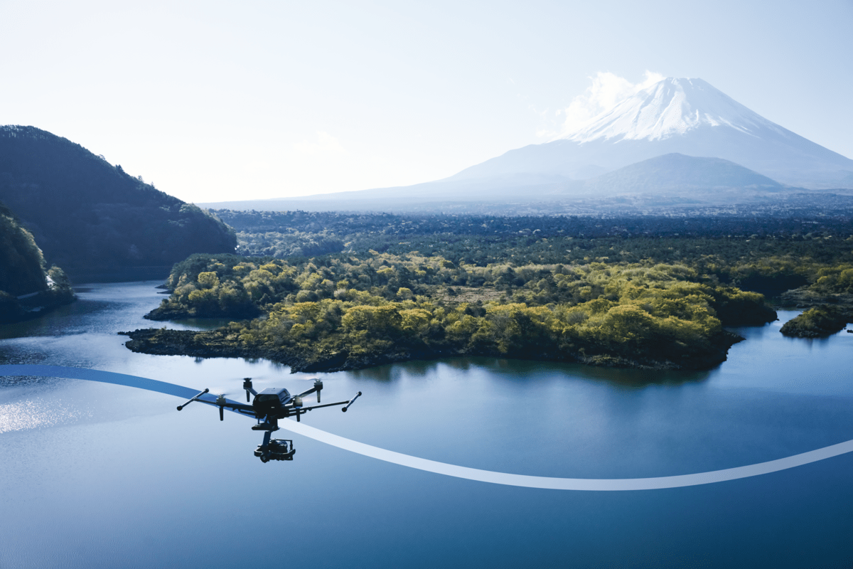
Advanced navigation and positioning technology provider Inertial Labs is developing a state-of-the-art LiDAR system for Sony’s Airpeak drone. The partnership will enhance the drone’s capabilities in various applications, including surveying, mapping, and cinematic videography.
The newly developed LiDAR system will harness Inertial Labs’ expertise in sensor technology to deliver exceptional accuracy and detail in aerial mapping and 3D modeling. More specifically, it will leverage the company’s RESEPI LiDAR remote sensing payload instrument GEN-II which boasts a 175% increase in computing power, compared to its predecessor.
Tailored for professionals, the LiDAR system integrated into Sony’s Airpeak drone will significantly enhance workflow efficiency and data accuracy, particularly in sectors such as construction, agriculture, and filmmaking. The system allows for extensive data handling and facilitates longer durations of data collection without frequent offloads.
Kento Sayama, deputy vice president of imaging solutions at Sony Electronics, has expressed enthusiasm for the partnership, stating, “This collaboration aligns with our commitment to innovation and providing our customers with cutting-edge technology. Inertial Lab’s expertise in LiDAR and sensor technology complements our vision for the Airpeak, setting a new standard for drone capabilities.”
Jamie Marraccini, CEO of Inertial Labs, echoed this sentiment, stating, “Working with Sony, a world leader in technology, allows us to push the boundaries of what’s possible in drone applications. This partnership is a testament to our shared dedication to advancing the industry.”
Read more: New ACLU report on police drone surveillance of public gatherings
FTC: We use income earning auto affiliate links. More.


Comments