Swiss Vertical Take Off and Landing (VTOL) drone maker Wingtra and data visualization and analysis specialist Propeller Aero are teaming up to offer a precision 3D mapping and surveying platform for industrial clients.
Ground-to-drone-to-cloud mapping
The new partners promise construction and mining customers that their service will cut the time normally required to collect survey-grade data across worksites from days or weeks to just a few hours. They say that in addition to increased speed, their tech-driven tools also provide greater accuracy and reliability than existing solutions.
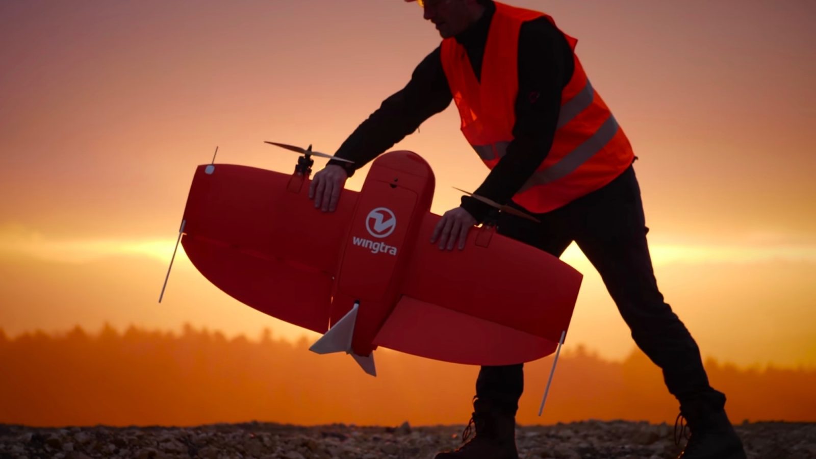
Here’s how it works. Companies undertaking surveys place smart ground control units called Propeller AeroPoints around the site to be mapped. They then fly a WingtraOne drone over the area. Images taken while in flight are relayed to Propeller Aero’s cloud-based platform for fully automated geotagging and photogrammetry processing. The entire job is finished and delivered within 24 hours of the last data set being uploaded to the platform.
Increased accuracy, speed using drones
The companies say traditional survey methods require manual data collection that often introduce inaccuracies or error. Their offer, by contrast, identifies and uploads more precise readings of surveyed sites using smart tech tailored specifically to the task. What’s more, regular flights using the package will detect and correct any earlier discrepancies. Those also allow for efficient tracking of sites as they evolve, says Jack Nachazel, Propeller Aero’s customer success engineer.
Many Propeller customers are flying massive mines, road and railway projects, and other large sites, and are seeing the value of VTOL drones for their operations. Our partnership with Wingtra meets a significant demand in the industry for more efficient and highly accurate survey data that supports not only time and cost savings, but also reliable data you can trust.
He adds the ability of teams across worksites to remotely consult geographically accurate and realistic 3D site models, and track and report on progress across them, enhances both productivity and safety. Increased precision and reliability in surveying, meanwhile, has been effective in avoiding conflicts and resolving disputes when they do arise, thanks to the fuller, better data available to everyone involved.
FTC: We use income earning auto affiliate links. More.


Comments