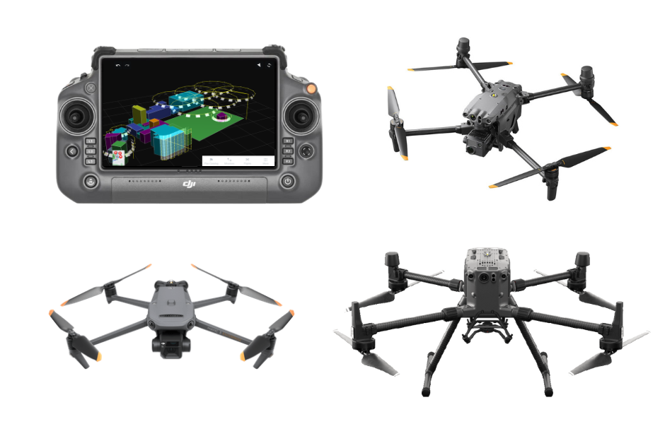
Commercial drone flight planning and execution platform Drone Harmony has announced support for the new DJI Mavic 3 Enterprise series. Moreover, the Swiss company now supports DJI Matrice 30 drones, which essentially means its platform is compatible with the entire drone lineup from DJI Enterprise.
In addition to adding support for some of the most popular commercial drones from DJI and empowering users with automated mission planning as well as captured data visualization in Drone Harmony Web, the company has improved support for the DJI Matrice 300 drone. The platform’s latest update brings pilots the benefits of improved telemetry, updated gimbal controls, and support for more complex missions.
The update also includes improved support for the DJI Zenmuse P1 camera, which is designed for highly detailed aerial surveying and mapping.
Beyond hardware support for DJI products, Drone Harmony has added a powerful new feature to its platform: facade flight plans. These new plans allow pilots to easily capture images of building facades at fixed distances and with custom intervals along the facade.
Other improvements include enhancements of the 3D planning interface and the transition to Mapbox as a map layer, providing pilots with more accurate and up-to-date map data. Further, Drone Harmony Mobile now comes with new notifications for warnings and errors, thus allowing pilots to stay informed of any issues that may arise before or during a flight.
Last but not least, Drone Harmony has included a general calibration feature that is designed for correcting the alignment of the drone flight with the physical location of the inspected object. For instance, errors caused by incorrect marking/drawing of structures in the scene (including when an inaccurate map layer is used to outline a building) or errors in the GPS positioning of the drone can be rectified through calibration.
As the company explains:
Calibration is important whenever the flight is performed near objects, requiring extra accuracy in flight execution. The feature is based on placing a point of interest (POI) on a landmark in the scene (i.e., a building corner) and flying the drone manually above that position. The process is guided, and visual aids are given to help with the drone’s alignment.
Read: DroneDeploy update brings automated RTK flights to DJI Mavic 3E drone
FTC: We use income earning auto affiliate links. More.


Comments