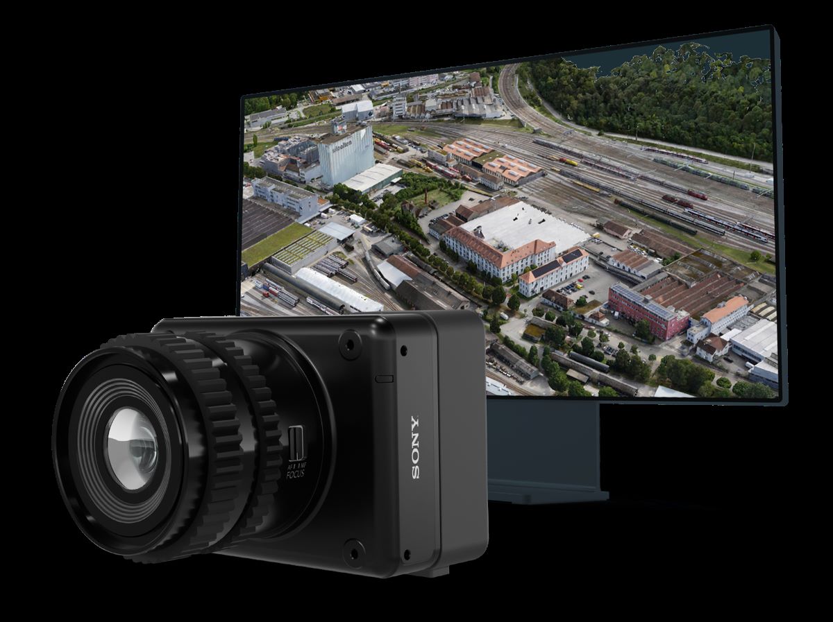
Swiss drone maker Wingtra has unveiled a new sensor, MAP61, that dramatically reduces the capture and processing time of 2D drone data while offering hyper-efficient, single-pass 3D optimized data capture when needed.
With MAP61, users can cover up to 460 hectares (1,140 acres) in a single flight — making it a game-changer for professionals in industries like construction, urban planning, and land management. The sensor’s ultra high-resolution capabilities allow for detailed 3D reconstructions in a single pass, cutting down on the time needed for fieldwork and data processing.
“Imagine reducing your fieldwork from an hour to just 35 minutes, all while doubling your processing speed,” says Julian Surber, product manager at Wingtra. “With MAP61, customers are saving time while capturing optimized 2D or 3D data, significantly boosting productivity.”
So, how does MAP61 deliver such results? By requiring fewer images to cover large areas, MAP61 speeds up the data processing workflow. This can turn a multi-day project into a single-day task, saving time and money. For industries that rely on precision, like highway mapping or progress monitoring in open-pit mines, MAP61 offers the ability to gather accurate data without requiring disruptive cross-hatch flight patterns. Field time for vertical resolution and accuracy is again cut in half thanks to angle of the sensor.
In addition to its speed and efficiency, the MAP61 integrates seamlessly into Wingtra’s all-in-one mapping solution. Through WingtraCLOUD, users can plan, capture, and process their projects without switching software — making it accessible for both technical and non-technical users alike.
As Surber explains, “Our customers often work in challenging environments like open pit mines, highways, or urban areas, where constraints can limit flight windows. In these situations, quickly covering large areas is crucial for reducing costs, ensuring the safety of personnel, and delivering timely data to stakeholders. The MAP61 excels in these scenarios, offering speed and efficiency without sacrificing image quality.”
Read more: AirData partners with Google to tackle DJI drone data wipe
FTC: We use income earning auto affiliate links. More.


Comments