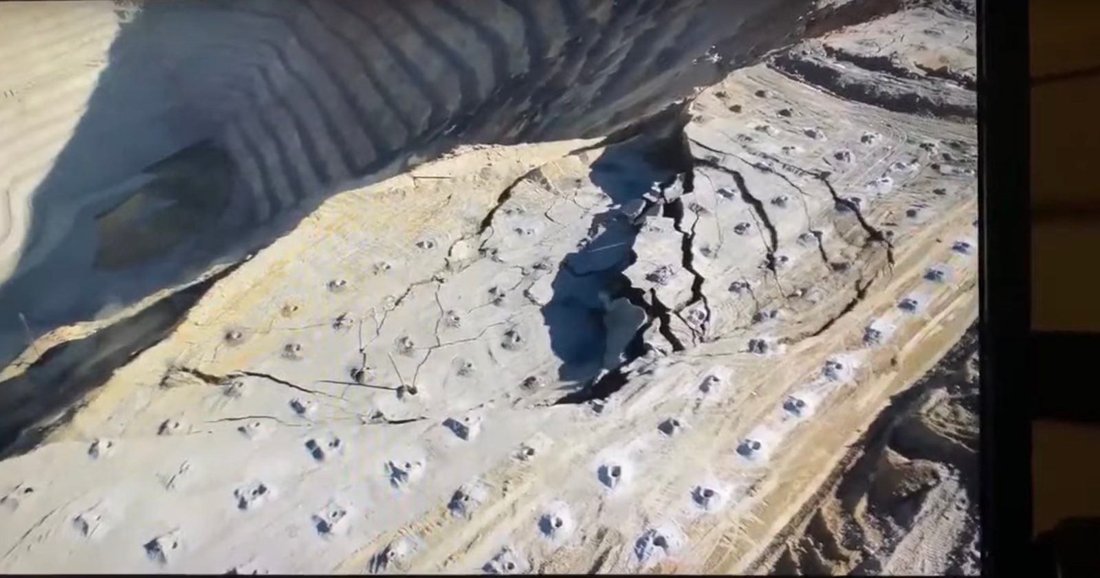
Extremely rare and dramatic footage has surfaced this week of a massive landslip filmed from on high. In it, drone-shot video above the Bingham Canyon mine in Utah captures the enormous landslide from its very beginning right through to the end.
Drone shoots rare, start-to-finish landslide video
The drone landslide video was only uploaded this week, though the actual event occurred on May 31. It’s shot from a position above a wide ledge of earth that drops away from a steep, layered slope and down into the pit. Filmed from behind, the footage provides an incredibly clear view of the initial fissures forming in a semi-circle on the top of the ledge, and the larger of two sections of the escarpment sliding down into the pit. The second, smaller failure then takes place in its wake, sending unknown tons of ground into avalanche mode.
Same mine suffered record-setting 2013 landslide
Operated by extraction giant Rio Tinto, the Bingham Canyon dig – also known as the Kennecott mine – is one of the largest open pits in the world, measuring 2.5 miles wide and 3,900 feet deep. In 2013, the site suffered the largest non-volcanic failure in North American history when up to 70 cubic meters of rock and dirt emptied for the extraction of copper, gold, and silver gave way. That massive earth slide at the mine, located about 18 miles from Salt Lake City, was detected by seismic equipment that measure earthquakes.
The May failure is not believed to be anywhere near that large – nor to have come as a surprise. Since the 2013 event, the mine’s operators have been using sophisticated geotechnical monitoring to identify weaknesses and prepare for potential collapses. The absence of equipment and people usually working the mine, and deployment of the video-recording drone at the very moment the landslide occurred, suggests the owners had correctly calculated the timing of the failure.
Specialist site The Landslide Blog noted the rarity of such landslide videos, and tipped its hat to the surveys by mine owners that allowed them to correctly predict the event and deploy the drone to capture it.
“This is one of the most impressive failures caught on video to date,” blog author Dave Petley writes. “That the drone team were in place suggests that the mine had correctly predicted not just the location of the landslide but also its timing. The result is an excellent case study.”
FTC: We use income earning auto affiliate links. More.


Comments