Editor’s note: DJI Air 2S drone compatibility is now available for both Paid and Trial accounts in DroneDeploy.
You can use DroneDeploy’s iOS mobile app to create maps, 3D models, panoramas, and more autonomously with the DJI Air 2S drone.
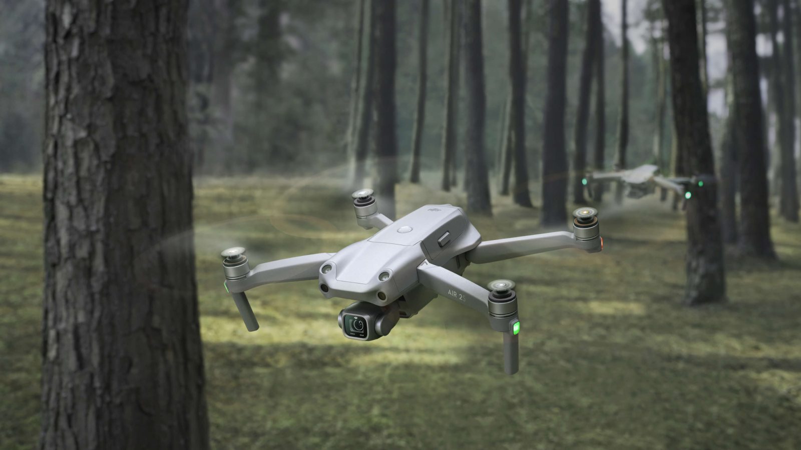
Flying DJI Air 2S drone with DroneDeploy
DroneDeploy has released Flight App v4.97.0 with support added for the Air 2S. This has enabled the $999 20MP camera drone to create interactive 2D maps, 3D models, photos, videos, panoramas, and roof reports directly from a mobile device.
But if you aren’t already subscribed to DroneDeploy, there’s a catch. While someone new to the app would typically have been able to test out its functionalities for free for two weeks, the Air 2S compatibility is being rolled out to paying customers only.
New: FAA’s Remote ID rule for drones is constitutional, DC court rules
DroneDeploy provides this explanation on its website:
DJI does not provide a third-party iOS SDK to support autonomous flight for this drone, however, DroneDeploy has created a workaround that has added costs. Becoming on a paid plan provides you access to this automated experience along with many more features/toolsets to utilize the full potential of captured drone data.
Now, this isn’t entirely accurate since DJI did release the iOS SDK for Air 2S in March this year, and third-party drone flying app Litchi for iOS rolled out support for the drone based on that. Also, unlike DroneDeploy, Litchi supports the Air 2S on Android, too.
Therefore, the issue may relate to DJI not releasing the SDK for “all” the functions that a third-party flight app such as DroneDeploy can offer.
Read: New to FPV? Check out BETAFPV’s Pavo25 CineWhoop-style drone
While apps like Litchi are sufficient for basic automated waypoint missions, DroneDeploy caters to a much wider range of aerial imaging and mapping applications in industries such as construction, solar, agriculture, surveying, mining, insurance, and inspection.
And it’s worth noting that all DroneDeploy plans support the DJI Air 2S. This means even with the basic $99/monthly subscription, the flight app can provide users with instant offline RGB maps without hours of processing time.
Read: Microsoft launches drone simulation software Project AirSim
FTC: We use income earning auto affiliate links. More.


Comments