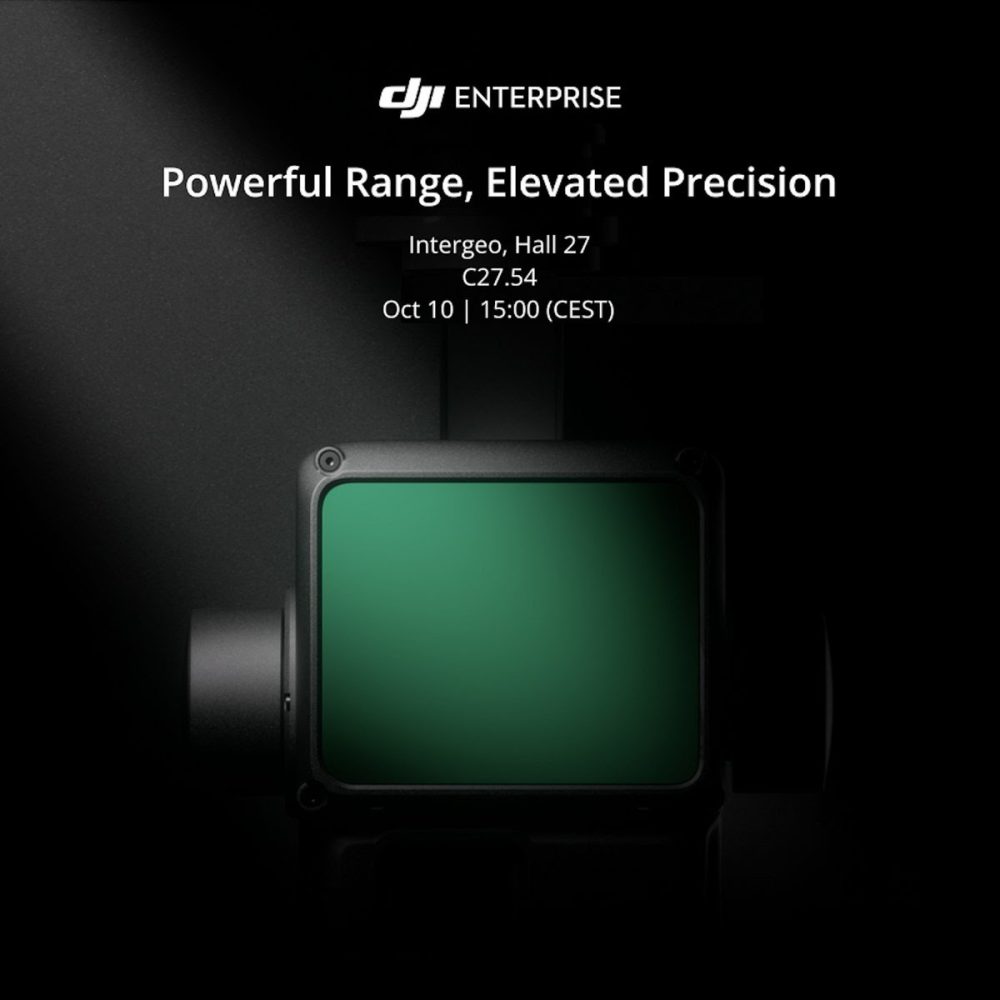
DJI has teased the launch of a new product at an event scheduled for October 10 at the German expo and conference INTERGEO 2023. According to the teaser promo, DJI could release a state-of-the-art drone LiDAR solution for professionals in the field of surveying and geodesy.
DJI’s latest offering will be unveiled at 3 p.m. CEST during the “Unlocking Precision: Elevating the Power of Drone Lidar Data for Accurate Surveys” presentation by solution engineer Kyle Miller at booth C27.54.
[Editor’s update]: DJI has unveiled the Zenmuse L2 drone payload with an enhanced RGB camera, upgraded LiDAR module, and improved accuracy.
The drone maker explains in a statement:
In today’s rapidly evolving technological landscape, surveyors are seeking innovative solutions to enhance accuracy and efficiency in their work. This session aims to delve into the evolution of drone LiDAR technology and its ability to revolutionize surveying practices. By capturing highly detailed and precise data from above, drone LiDAR systems offer surveyors a new level of accuracy, speed, and versatility. As the world’s leading drone manufacturer, DJI will show you our best LiDAR solutions for better efficiency, accuracy, and data quality.
Also read: DJI Action 3 camera falls under $280 this Prime Day
It’s worth noting that DJI released its first dedicated aerial LiDAR solution for the surveying industry, the Zenmuse L1 camera, in 2020. The product integrated a powerful Livox LiDAR module with a 70° FOV, a high-accuracy IMU, and a 20-megapixel camera with a 1-inch CMOS sensor and a mechanical shutter on a 3-axis stabilized gimbal.
The Zenmuse L1 could generate true-color point cloud models in real-time, or acquire a vast area (up to 2 km2) of point cloud data in a single flight. With a Point Rate of 240.000 points per second and a detection range of 450 meters, the ease and speed of capturing quality data with the L1 was unprecedented at the time. And thanks to its IP44 rating, the camera could operate in rainy or foggy environments while the LiDAR module’s active scanning method enabled flights in low-light conditions.
Coming back to INTERGEO 2023, in addition to a new LiDAR payload for drones, DJI is also organizing other sessions at the event. The first is “Complete Workflow Solutions: Empowering the Geospatial Industry,” presented by DJI global solutions engineering director Freda Peng, and another one is called “Opportunities for effective data acquisition for the Digital Twin,” which will be presented in collaboration with drone solutions provider Globe Flight.
Read more: Best Prime Day deals on Insta360 photography gear
FTC: We use income earning auto affiliate links. More.


Comments