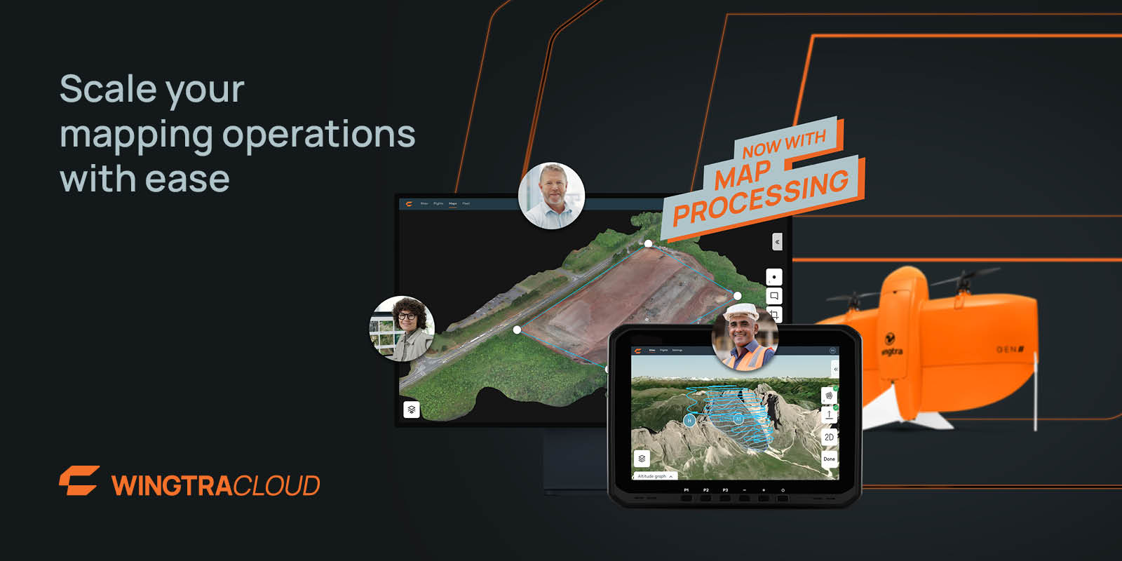
Swiss drone maker Wingtra has just rolled out a major update to its WingtraCLOUD platform, introducing fully integrated, advanced map processing capabilities. With this enhancement, the company hopes to make aerial insights more accessible to professionals in sectors such as construction, mining, and urban planning.
Wingtra’s new cloud-based processing feature simplifies the transition from raw drone data to actionable insights, streamlining operations for companies and ensuring faster project turnarounds. “Compared to other solutions on the market, WingtraCLOUD offers an unmatched level of integration and ease of use, reducing the risk of errors and making it a superior choice for firms aiming to leverage aerial insights efficiently,” says Vaibhav Sawhney, a product manager at the company.
This upgrade integrates every stage of aerial data management — from mission planning to insight sharing — into one intuitive platform. By eliminating the need for multiple complex tools, WingtraCLOUD simplifies workflows and reduces the potential for errors, thus preventing costly rework and accelerating project timelines.
One of the standout benefits of the new WingtraCLOUD upgrade is its speed: imagine capturing and processing data from a 250-acre site in just a couple of hours. This level of speed can prove transformative, especially in industries like construction, where it can prevent costly delays and resource waste. In mining, the platform can enhance safety by enabling rapid highwall inspections. And in disaster scenarios, Wingtra’s fast mapping capabilities can help direct resources more effectively.
“With the integration of cloud-based processing, we’re transforming how surveying, engineering, and project management teams interact by bringing them closer to drone-acquired data,” Sawhney explains. “Now, anyone, regardless of their technical background, can efficiently produce and use detailed orthomosaics, point clouds, and meshes. This not only simplifies the data capture process but also ensures that all project stakeholders have quick access to actionable insights, promoting better decision-making and collaboration.”
It’s worth highlighting that Wingtra recently closed a $25 million Series B1 funding round.
Read more: Japanese drone maker ACSL unveils thermal camera, expands US team
FTC: We use income earning auto affiliate links. More.


Comments