Drone giant DJI has released a new version of its Terra 3D modeling and mapping software, adding new functionality, enhancing existing features, and sorting out a series of bugs.
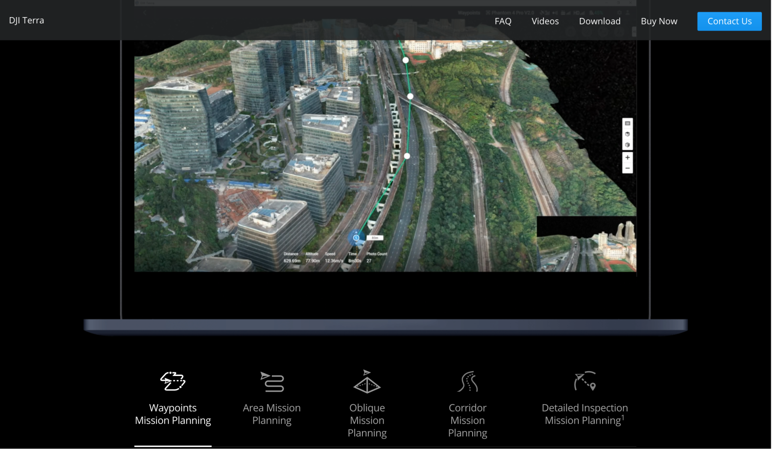
Launched in 2019, DJI’s powerful all-in-one Terra mapping and surveying software is designed for users in public safety, construction, infrastructure, and agriculture sectors who previously had to juggle a host of applications and platforms. The system also provides an easy and useful feature allowing drone pilots to chart automated flights based on the kinds of 2D orthomosaics or 3D models or maps they need to create.
Given the range and depth of the Terra software, it isn’t surprising that DJI technicians have seen fit to repeatedly intervene or upgrade the package to add new features and fix the bugs inevitable in such a complex platform. Indeed, the new 3.5.0 version of the product is the fourth update this year alone – and at this rate, may well not be the last.
Read: New image of rumored DJI Inspire 3 filmmaking drone surfaces
This newest version of Terra either adds, improves, or resolves so much in the DJI 3D mapping software offer it’s wisest to defer to the details the company itself has highlighted under appropriate headings:
New:
- Adds Seven-Parameter Transformation function to calculate and transform the coordinates from one coordinate system into another (Importing files for calculation supported).
- Refines Water Surface function to refine water surfaces for 3D Reconstruction.
- Adds Merged Output option to merge output results in PLY, LAS, or PCD format for point cloud reconstruction.
- Adds support to export logs after reconstruction fails.
- Adds support to select vertical coordinate systems and horizontal coordinate systems for Japan, the United States, Germany, and Denmark. Selecting and importing geoid files are available when selecting a vertical coordinate system.
Optimization:
- Adds support to display block count and names for Auto and Custom Size block splitting options.
- Adds troubleshooting instructions to optimize reconstruction error prompts.
- Adds warnings to the quality report of LiDAR point cloud missions to explain possible reasons for low accuracy or missing point clouds.
Fixes:
- Fixed the problem that the accuracy of LiDAR point cloud task decreases after opening point cloud accuracy optimization.
- Fixed issue where reconstruction fails when reconstructing agriculture missions on Japanese Windows operating system.
- Fixed the issue where flight route waypoint check fails when changing KML or point cloud in detailed inspection mission.
- Fixed the problem of high memory consumption for 2D reconstruction of data with camera angle less than 35° in vertical direction.
- Fixed the problem that when dragging the aerotriangulation results downward in the ROI area interface with the angle of positive view, the results will be enlarged and the ROI area will disappear.
- Fixed the problem that when the length unit was switched to imperial, the unit of distance to ground/subjects does not become imperial.
- Fixed the problem of partial loss of results after multispectral task breakpoint construction.
- Fixed the problem that cluster 3D models may not be loaded.
- Fixed issue where S3MB format files cannot be properly displayed after importing to SuperMap.
- Fixed issue where content preview cannot be updated upon dragging after importing POS files.
Read: Leak suggests DJI’s rumored Avata CineWhoop drone may be delayed
As always with Terra software updates, DJI urges users to complete all projects already underway in previous versions before upgrading to prevent loss of data or corruption during the installation process. And because the system is so powerful, the company notes clients must upgrade their driver version of their computer’s NVIDIA graphics card to v452.39 or above to ensure satisfactory operation.
FTC: We use income earning auto affiliate links. More.


Comments