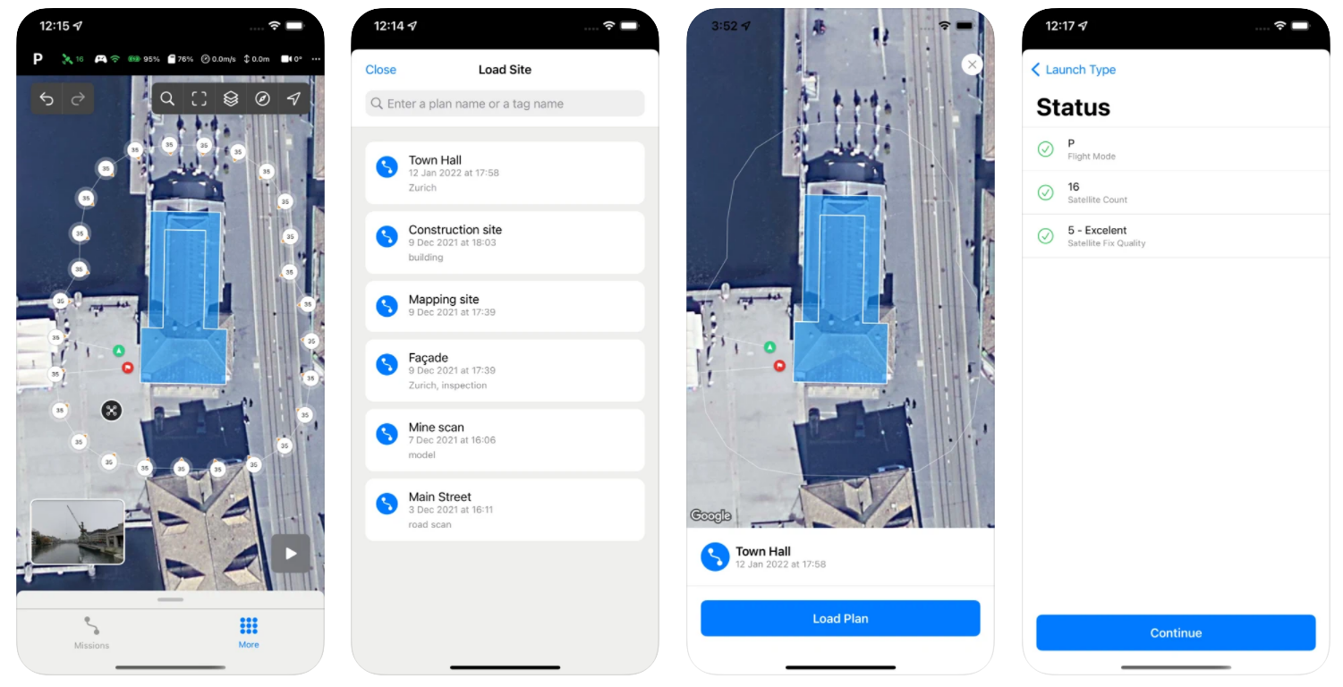
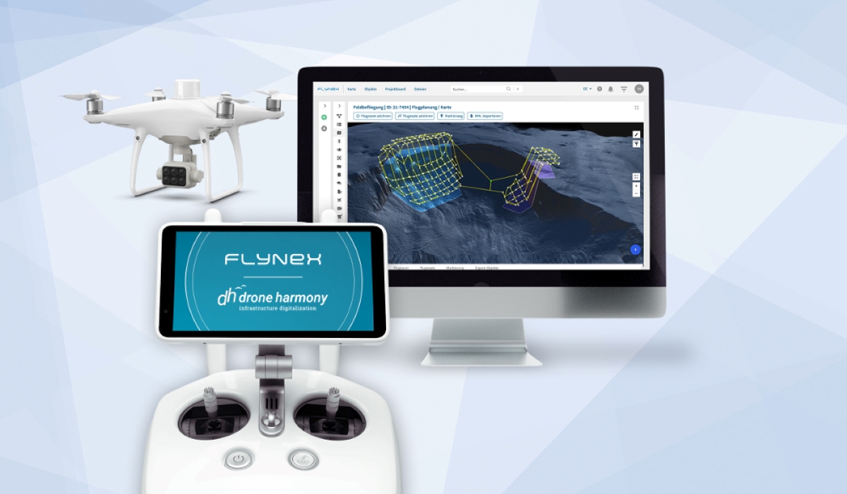
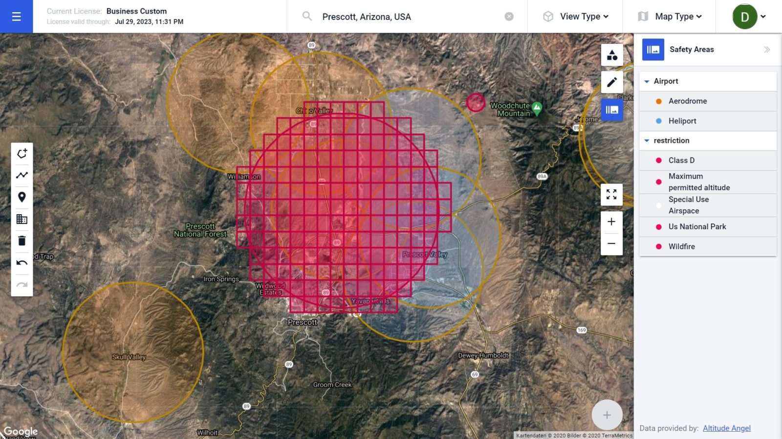
From problematic peaks to perfect maps: Drone Harmony’s Hill Scan
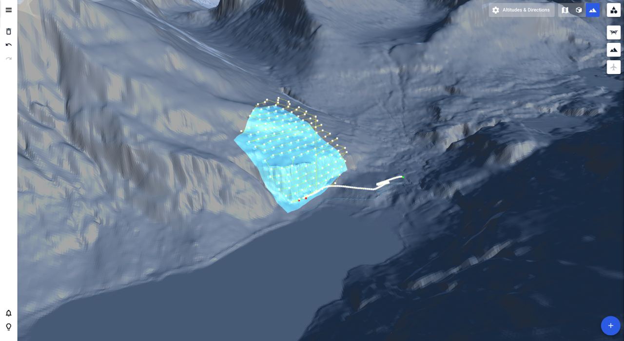
Mapping steep and complex terrain poses significant challenges, even with advanced drone technology. Many drones today are equipped with terrain-following tech, but they can also struggle in environments such as cliffs, rock walls, and steep hills. This leads to inefficiencies and inaccuracies, compromising the quality of the survey. But automated drone mission planning platform Drone Harmony says its Hill Scan technology can help surveyors overcome all such challenges.
Expand Expanding Close