

Tech giant DJI, renowned globally for its innovative drone and camera technology, has unveiled the new Mic Mini. This ultralight, compact, wireless microphone is designed to offer high-quality audio at an entry-level price point, making premium audio capture more accessible than ever.
Expand Expanding Close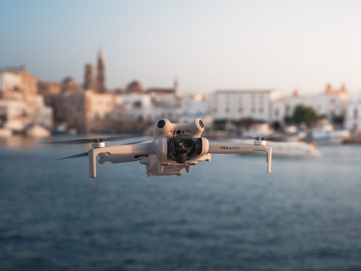
DJI has rolled out a new firmware update for the Mini 4 Pro drone, enhancing user experience by addressing known issues. The timing of this update is strategic, coinciding with Black Friday discounts that make DJI’s Mini drones more accessible than ever.
Expand Expanding Close
Tech giant DJI has expanded its agricultural lineup by launching three new drones in the Agras series — T100, T70, and T70P — exclusively in China. The flagship T100 is touted as DJI Agriculture’s most efficient drone to date, equipped with groundbreaking artificial intelligence (AI) and augmented reality (AR) capabilities. Meanwhile, the T70 series balances cost-effectiveness with robust features, lowering the entry barrier for agricultural drone users.
Expand Expanding Close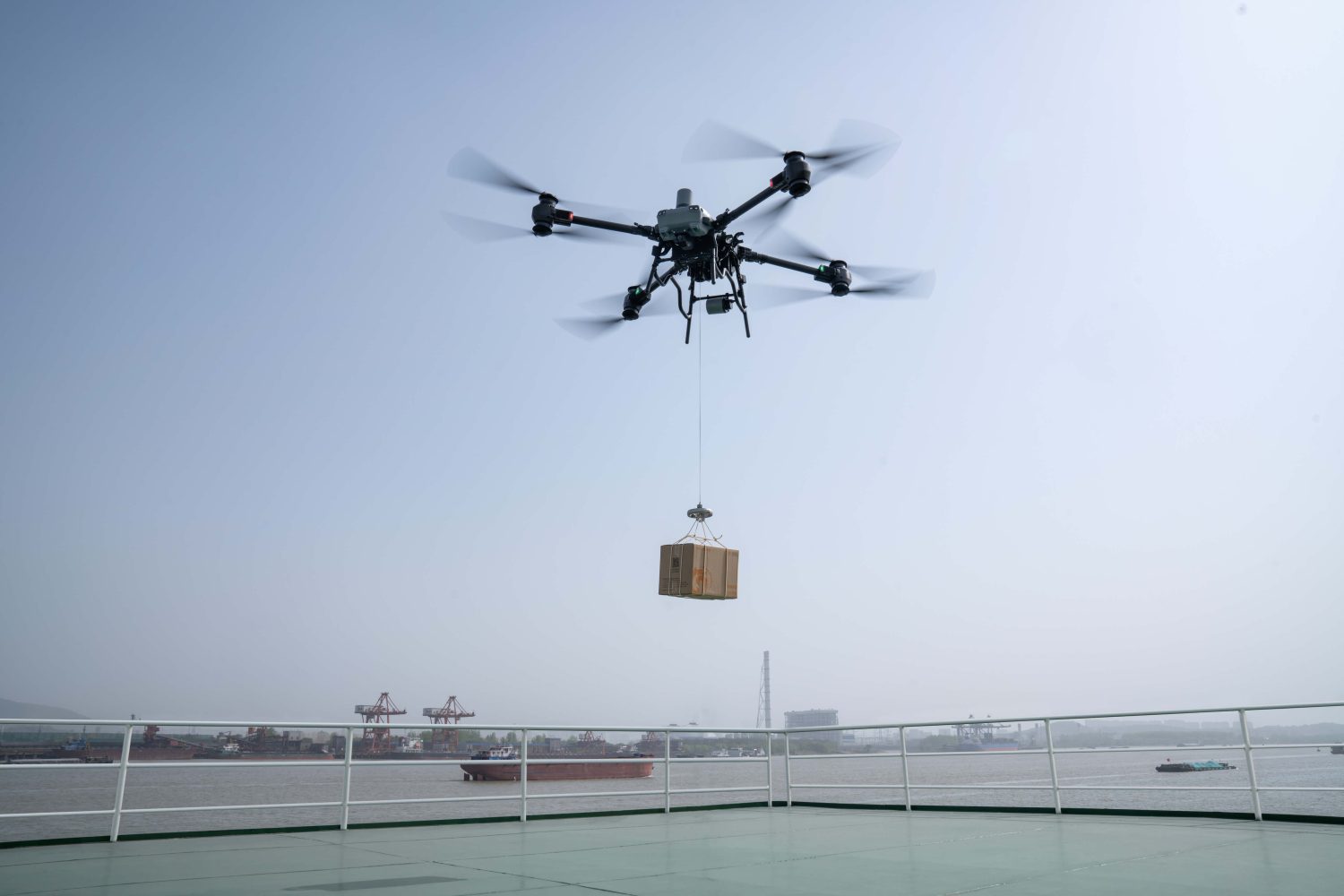
Tech giant DJI has achieved an important milestone with its FlyCart 30 drone. The heavy-duty drone has officially received the Type Certificate (TC) from the Civil Aviation Administration of China, becoming the country’s first medium-sized multi-rotor transport drone to pass this rigorous certification process.
Expand Expanding Close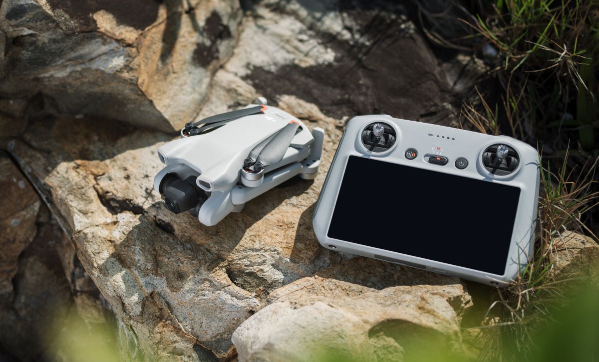
DJI is adding even more excitement to its Black Friday offerings as the company rolls out fresh discounts on its Mini drones. After unveiling several highly anticipated deals earlier this month, DJI has now expanded its Black Friday sale with new price drops, giving consumers even more chances to score big before the holiday season.
Expand Expanding Close
Drone racing fans, get ready to be dazzled! The Drone Racing League (DRL) has unveiled its lineup of 12 world-class pilots for the 2025 DRL US Air Force Miami Invitational. The thrilling competition will take place on February 1 at loanDepot Park, promising an unforgettable spectacle of high-speed drones and futuristic visuals.
Expand Expanding Close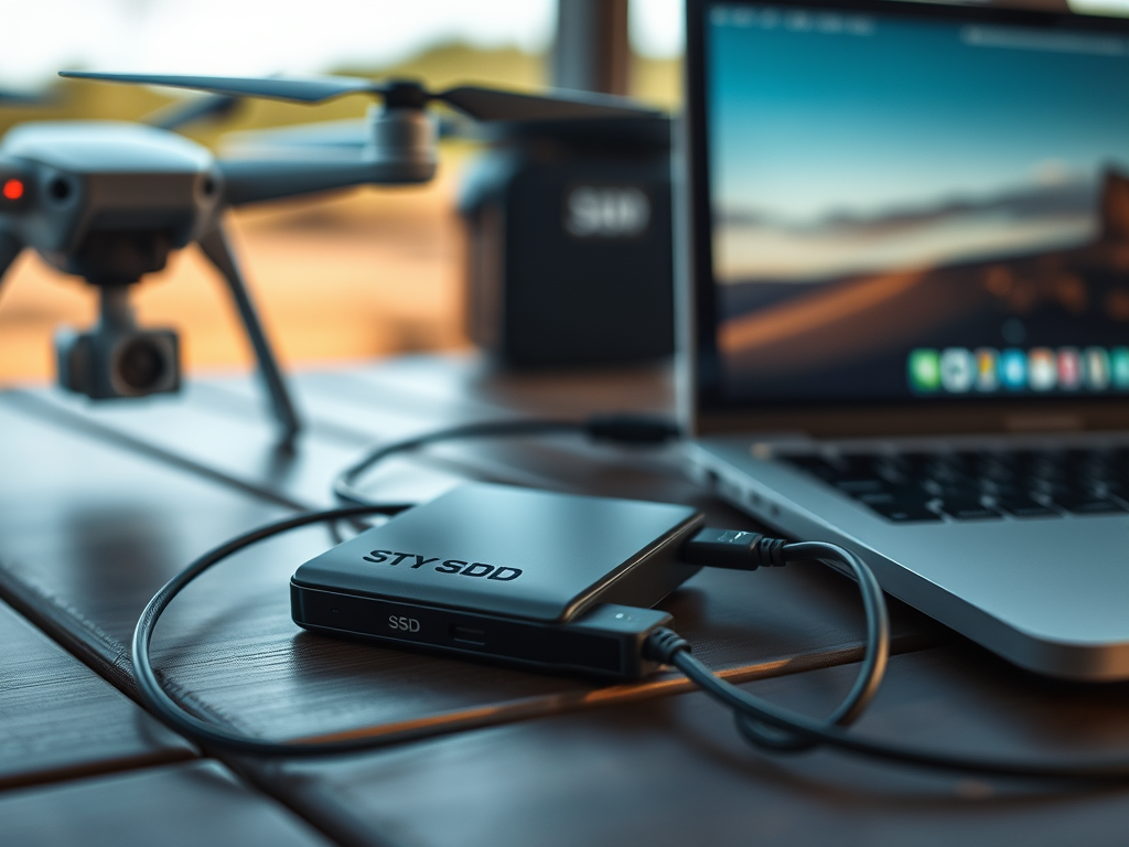
It’s once again Black Friday deal season, and the savings are already starting to come in a week before Black Friday is even here! If you’re in need of an upgrade to any of your storage solutions, now is the time to do it. Below is a guide to the best portable SSD Black Friday deals on Amazon!
Expand Expanding Close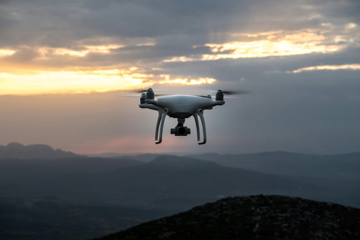
Propeller Drones, an Israel-based drone service provider, has secured a $7 million contract with the Israel Electric Corporation (IEC) to inspect electrical infrastructure using drones equipped with beyond visual line of sight (BVLOS) capabilities. This collaboration, supported by cutting-edge Uncrewed Traffic Management (UTM) technology from Airwayz, marks the first government approval for pre-approved BVLOS operations in Israel.
Expand Expanding Close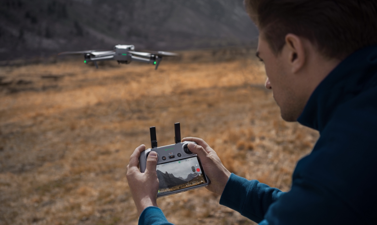
DJI has rolled out some incredible discounts on its dual-camera Air 3 drone lineup for Black Friday. With options starting at just $879, there’s never been a better time to elevate your drone game.
Expand Expanding Close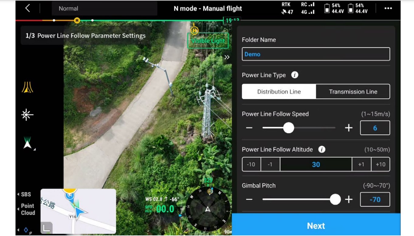
DJI has released an exciting firmware update for its advanced Zenmuse L2 aerial LiDAR payload, revolutionizing its performance for precision mapping and utility inspections. This payload, designed for DJI’s flagship Matrice 300 RTK and Matrice 350 RTK drones, offers significant advancements in data capture and operational efficiency, solidifying its place as a game-changer in aerial surveying.
Expand Expanding Close
The DJI Neo drone, named one of Time magazine’s Best Inventions of 2024, is finally back in stock on Amazon after being sold out for weeks. If you’re searching for the perfect holiday gift for a tech enthusiast — or a game-changing gadget for yourself — this ultra-compact, $199 drone is a must-have this season.
Expand Expanding Close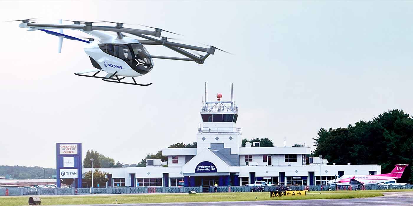
Japanese eVTOL developer SkyDrive continues to grow its order books and is now expanding potential air taxi operations in South Carolina, a state it chose as its US base last year. SkyDrive has signed a Memorandum of Understanding with one of the state’s largest private jet charter companies, which includes purchasing up to ten SKYDRIVE eVTOL aircraft.
Read More
Tech giant DJI, known for revolutionizing aerial and cinematic tools, is teasing an intriguing product launch for November 26, 2024, at 8 a.m. EST. With the tagline “Carry Less, Capture More,” the company hints at expanding its audio portfolio with a lightweight, versatile device. Leaks suggest the much-anticipated DJI Mic Mini will debut at this event.
Expand Expanding Close
If you’ve been waiting for the perfect moment to dive into immersive first-person view (FPV) flying, now’s the time. DJI Avata 2, the upgraded version of the popular FPV drone Avata, is up for grabs with an unmissable Black Friday discount.
Expand Expanding Close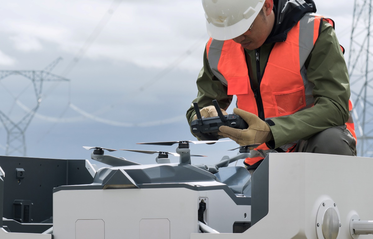
DJI has released a new firmware update for its Dock 2 drone-in-a-box solution, bringing critical upgrades to enhance functionality and improve user experience. The Dock 2, a state-of-the-art drone docking station, is designed for fully automated drone missions. It supports the Matrice 30 series drones and integrates seamlessly with DJI FlightHub 2 for mission planning and fleet management.
Expand Expanding Close
DJI has rolled out a new firmware update for its popular Mini 4K drone, focused on enhancing reliability by fixing known issues. While this update doesn’t introduce new features, it underscores DJI’s commitment to improving user experience, solidifying the Mini 4K as a fantastic choice for holiday shoppers.
Expand Expanding Close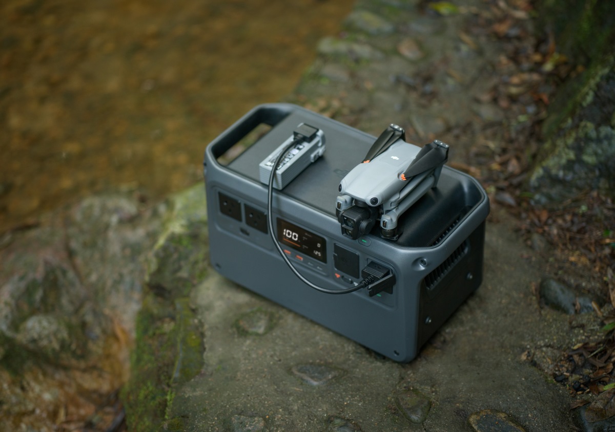
In an early holiday surprise, DJI’s Power 1000 portable power station is now available for $459, marking its lowest price ever.
Expand Expanding Close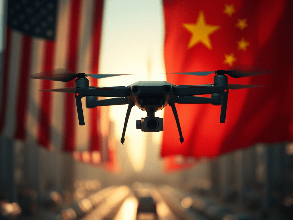
The Department of Defense (DoD), General Services Administration (GSA), and National Aeronautics and Space Administration (NASA) have jointly issued an interim rule prohibiting federal agencies from purchasing or operating drones made in countries deemed adversarial to the United States.
Expand Expanding Close
DJI has introduced a new firmware update for its Zenmuse H30 and H30T payloads, which are designed specifically for the Matrice 300 RTK and Matrice 350 RTK drone platforms. The update enhances the capabilities of these multi-sensor payloads in a range of complex aerial operations.
Expand Expanding Close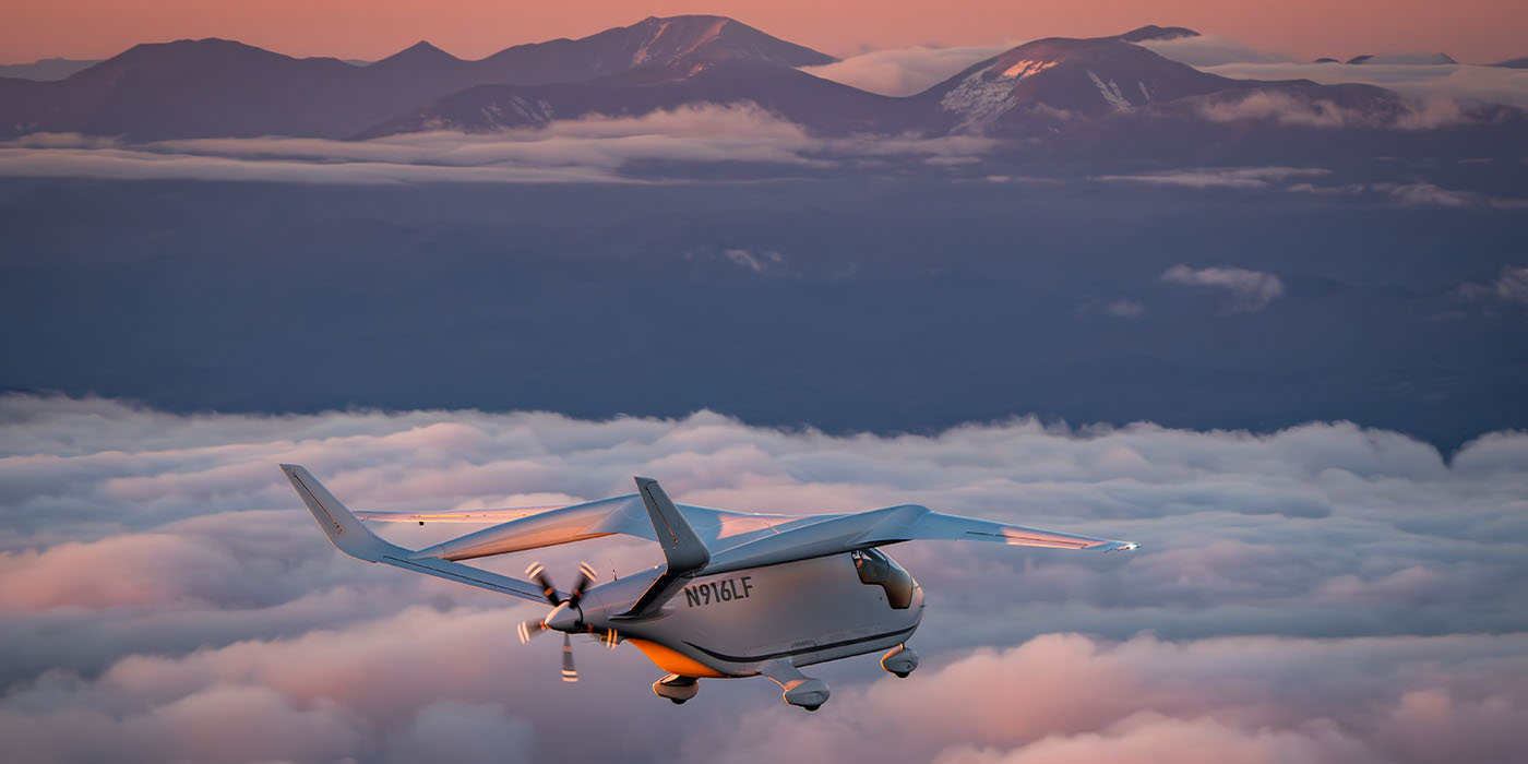
All-electric aircraft developer BETA Technologies has shared another important milestone in bringing its first two vessels to market. Most recently, BETA’s founder, CEO, and test pilot Kyle Clark took the production version of its ALIA eCTOL up for its first flight, as seen in the video below.
Read More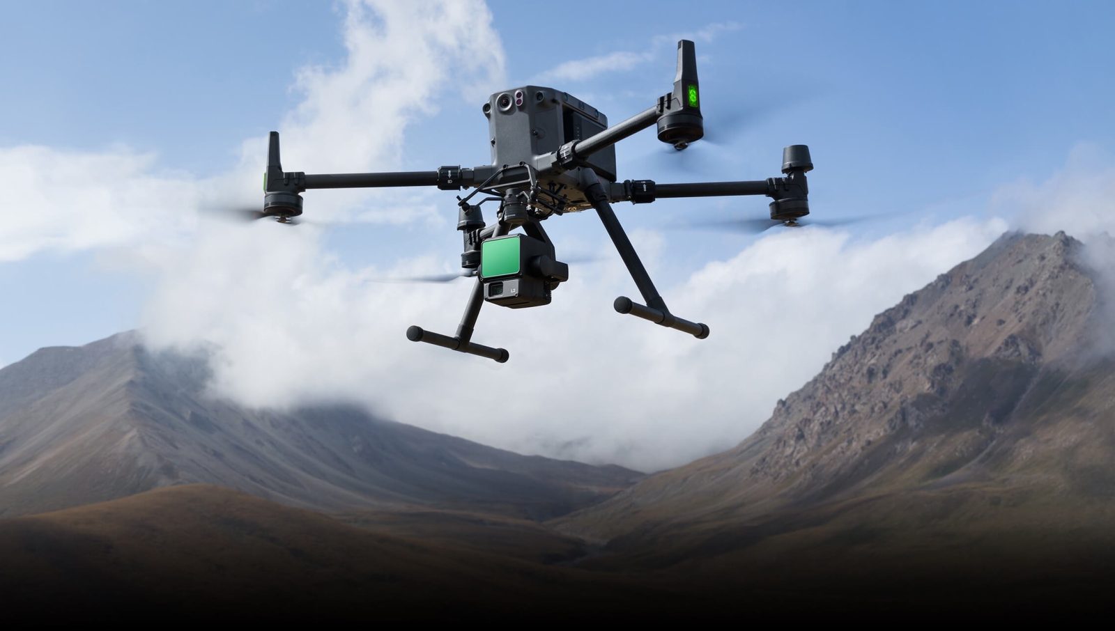
DJI has released version 4.3.0 of Terra software, a powerful drone mapping solution used widely across industries such as construction, agriculture, electricity, oil and gas, and public safety. This update, which builds on Terra’s established capabilities in creating 2D and 3D maps from aerial imagery, adds features to streamline workflows and improve model editing for professionals.
Expand Expanding Close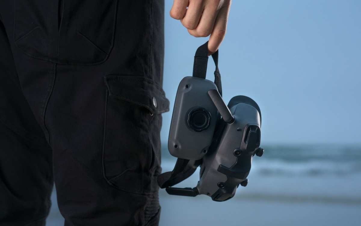
DJI Goggles 3 has received an exciting firmware update that brings new features and enhancements for DJI Avata 2 and Neo drone pilots.
Expand Expanding Close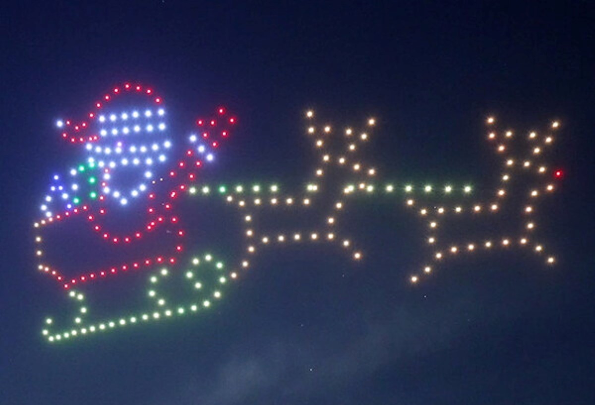
Denver’s holiday celebrations are about to soar to new heights with an incredible nightly drone light show presented by VISIT DENVER. Starting November 22, over 400 drones will perform breathtaking light displays above downtown Denver, continuing for 40 nights through New Year’s Eve.
Expand Expanding Close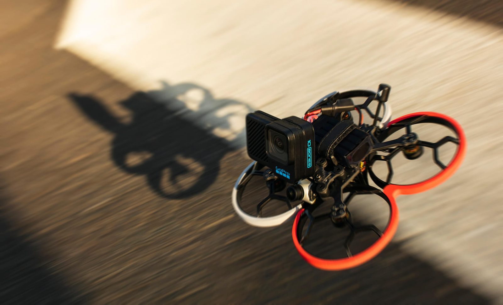
GoPro has sold a substantial portfolio of drone-related patents to Skydio, the largest US-based drone manufacturer. This patent deal represents a calculated step amid recent financial and operational hurdles for both companies.
Expand Expanding Close


