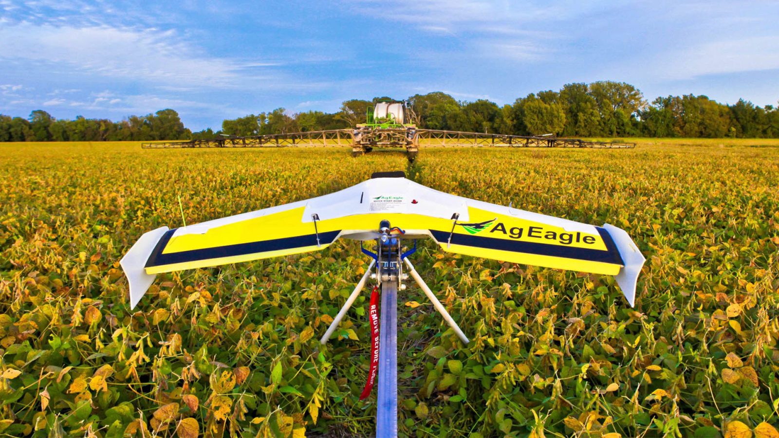
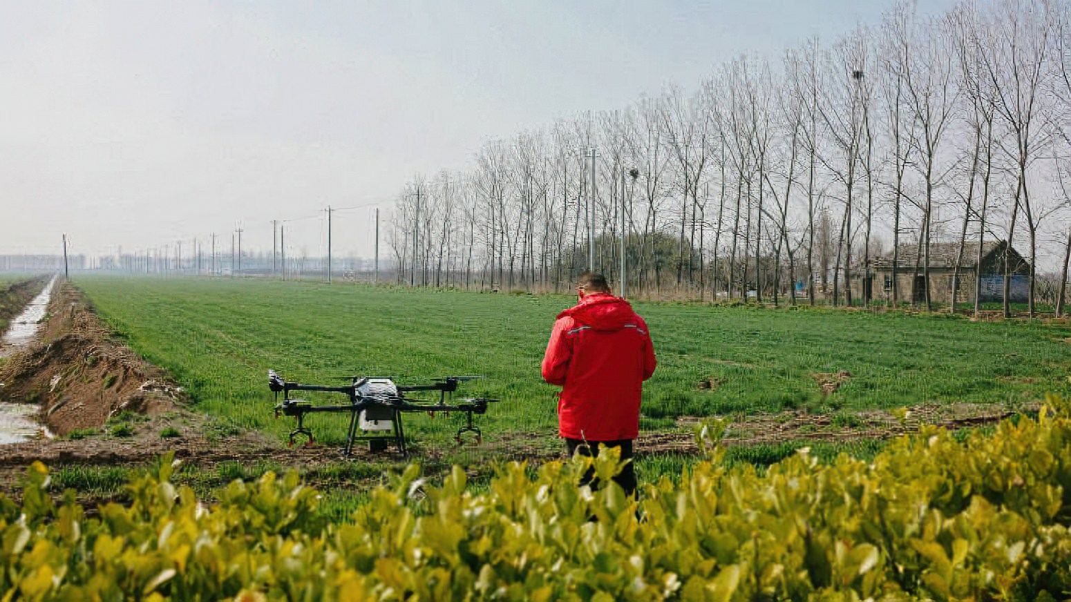
Taking drone remote sensing from ‘imprecise’ NDVI to accurate leaf-level identification
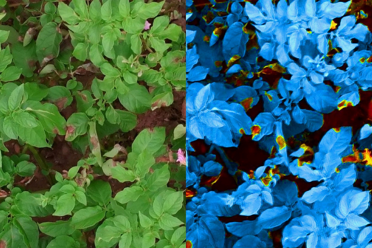
By detecting and identifying vegetation irregularities at an early stage, drone-based remote sensing can minimize losses to growers everywhere. But do the current methods of aerial remote sensing qualify to be called “precision” agriculture? Not really, according to this manufacturer of multispectral sensors.
Expand Expanding Close