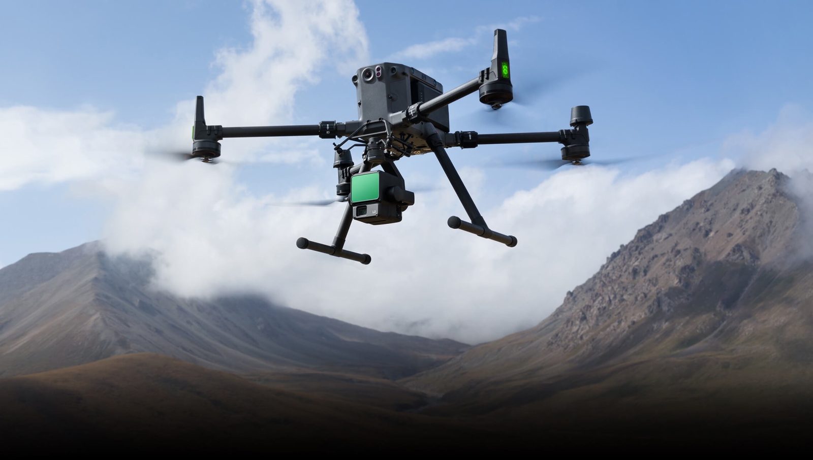
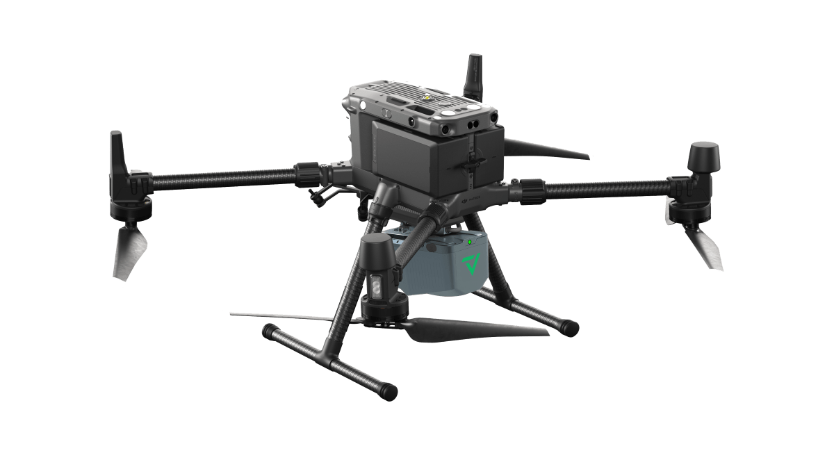
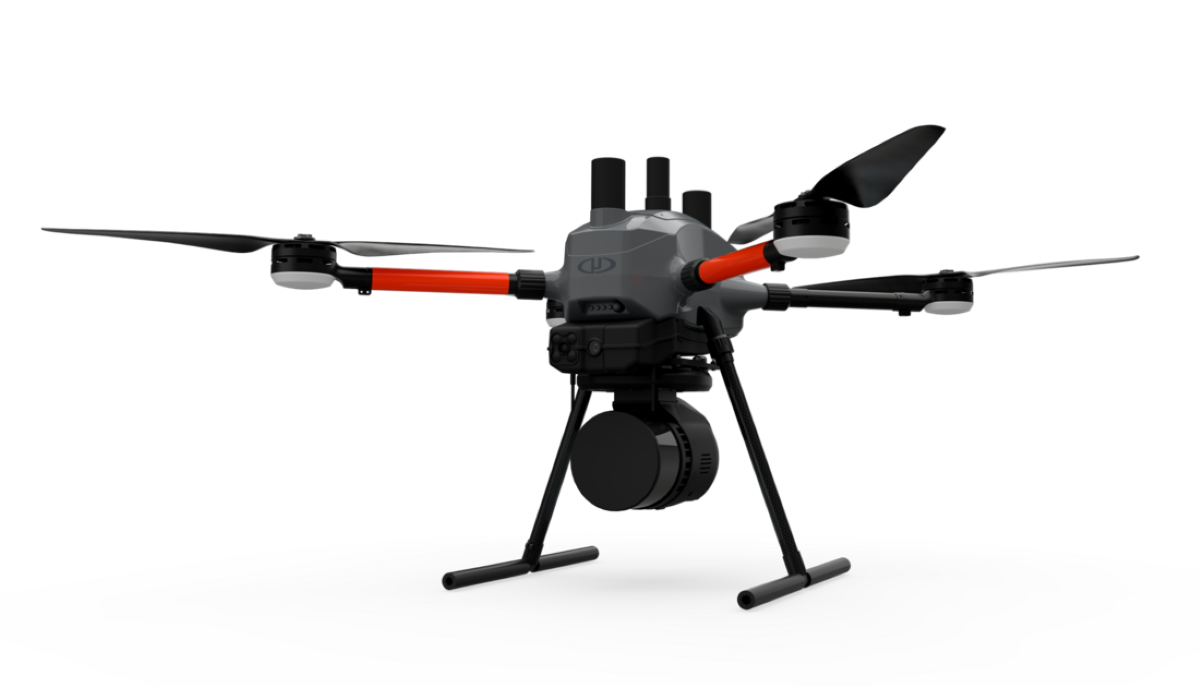
DJI launches Zenmuse L3, its most advanced drone LiDAR yet
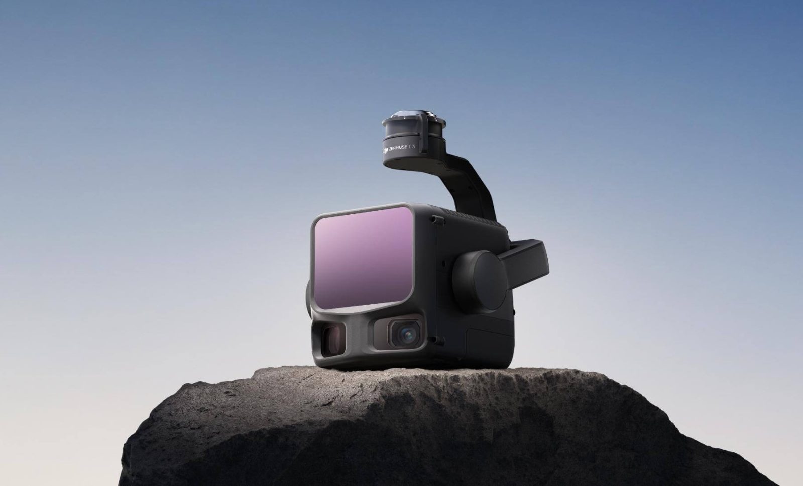
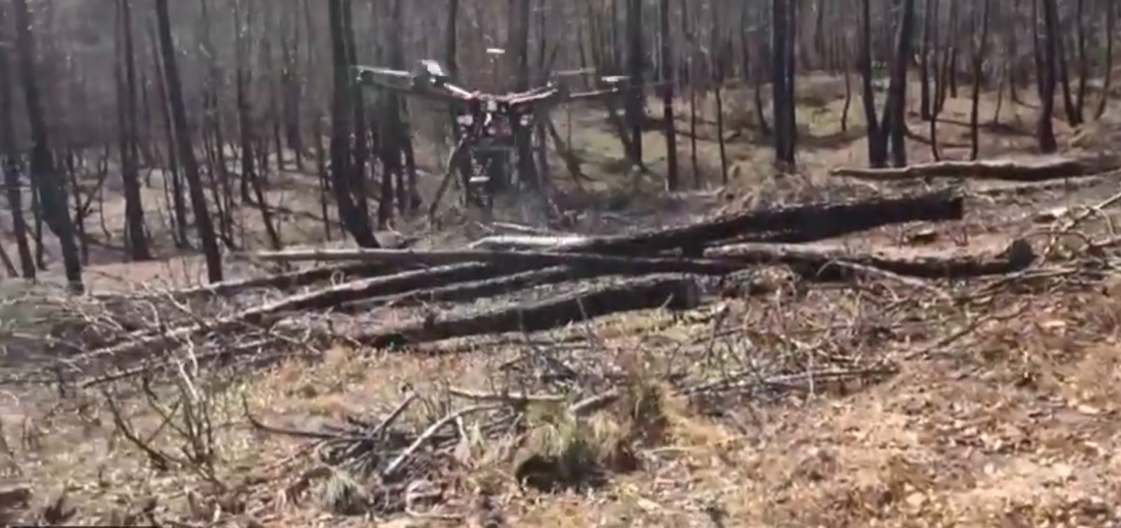
DJI just dropped a serious upgrade for mapping professionals, and it’s not a drone this time. Meet the Zenmuse L3, DJI’s first long-range, high-accuracy aerial LiDAR system that’s designed to take geospatial mapping and surveying to a whole new level.
Expand Expanding Close