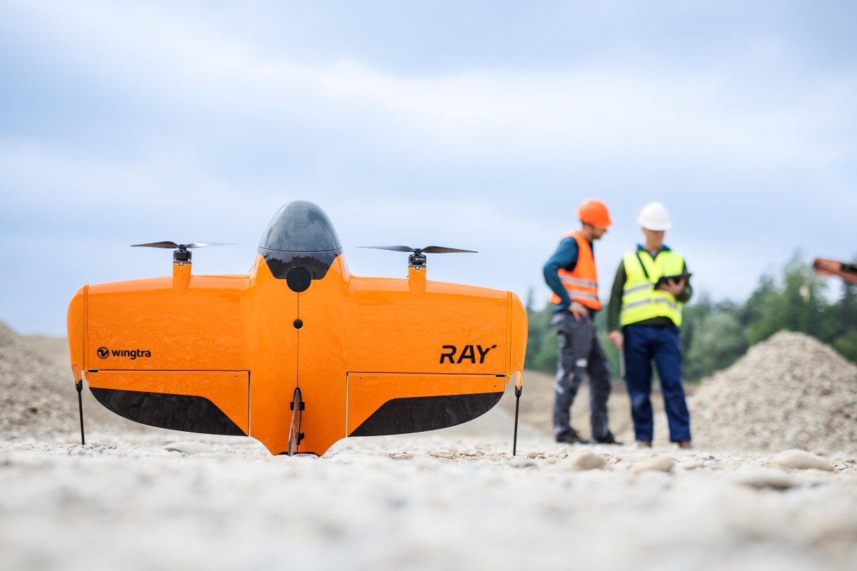
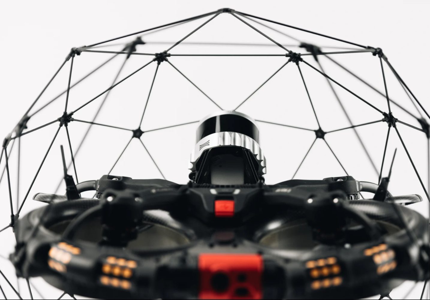
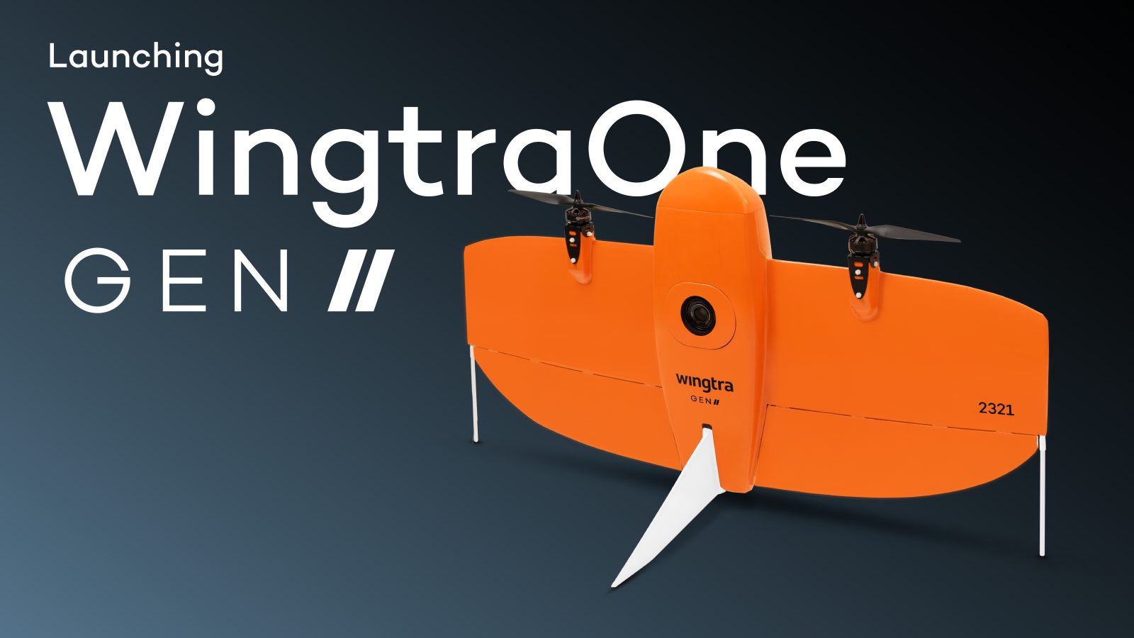
WingtraRAY earns C6 mark for advanced EU flights

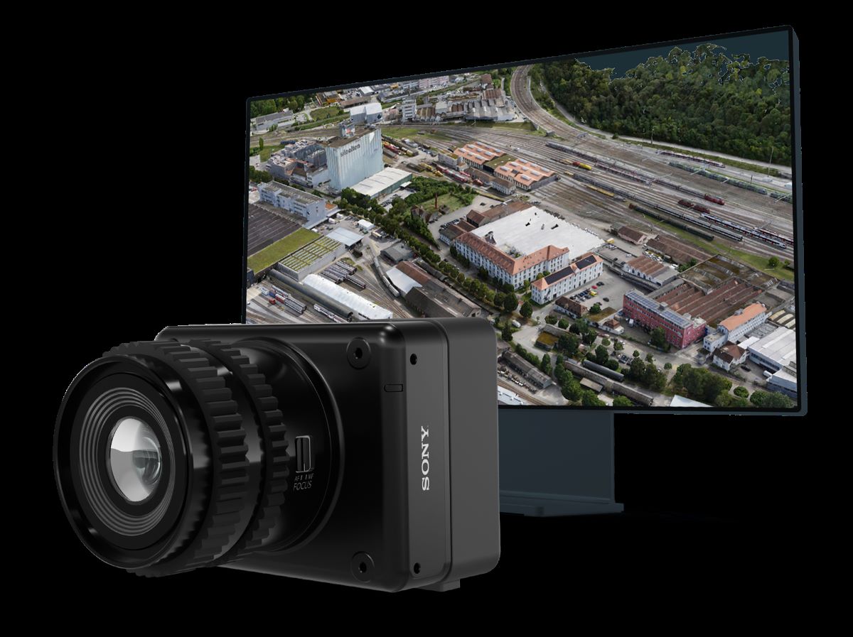
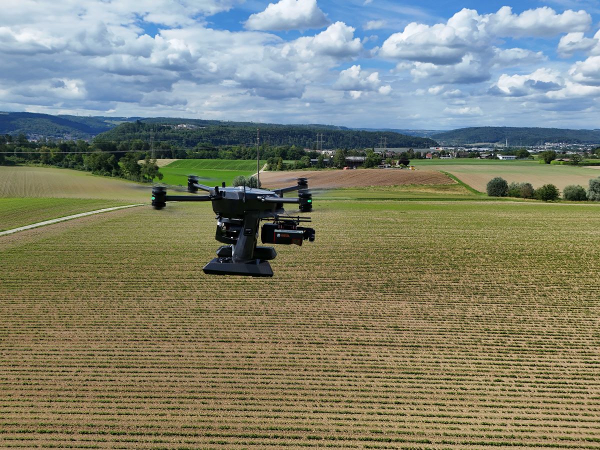
When Europe’s drone rules changed in recent years, manufacturers had to rethink not just hardware, but compliance. Under the European Union Aviation Safety Agency (EASA) framework, drones are assigned C-class labels (C0 through C6), each tied to specific operational privileges and limits in the Open and Specific categories. Now, Swiss drone manufacturer Wingtra says its latest mapping platform, WingtraRAY, has secured both C3 and C6 certification, potentially expanding how surveyors operate across Europe.
Expand Expanding Close