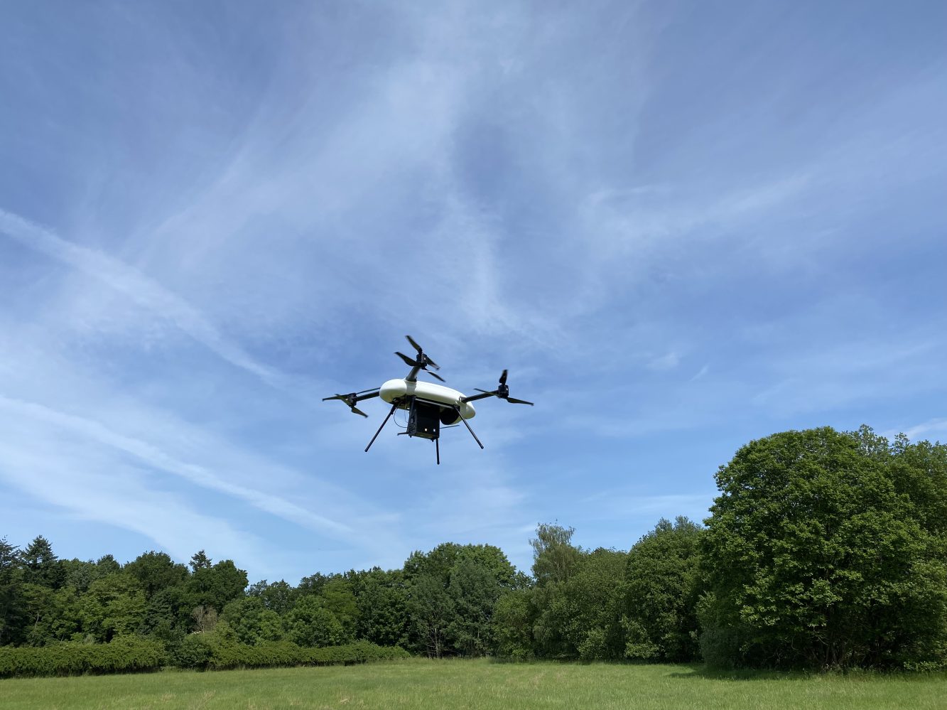
TOPODRONE launches AQUAMAPPER underwater LiDAR survey tool
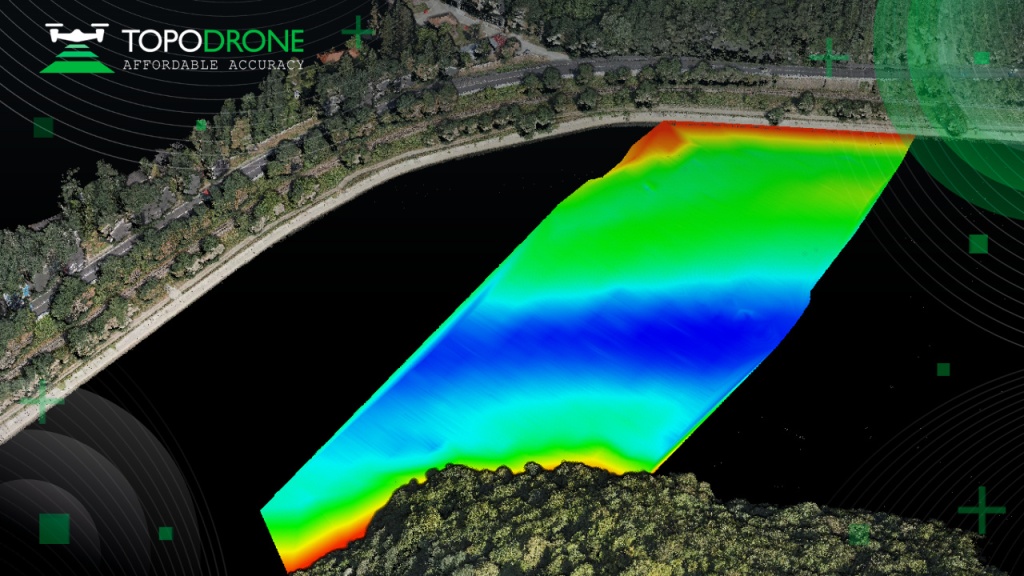
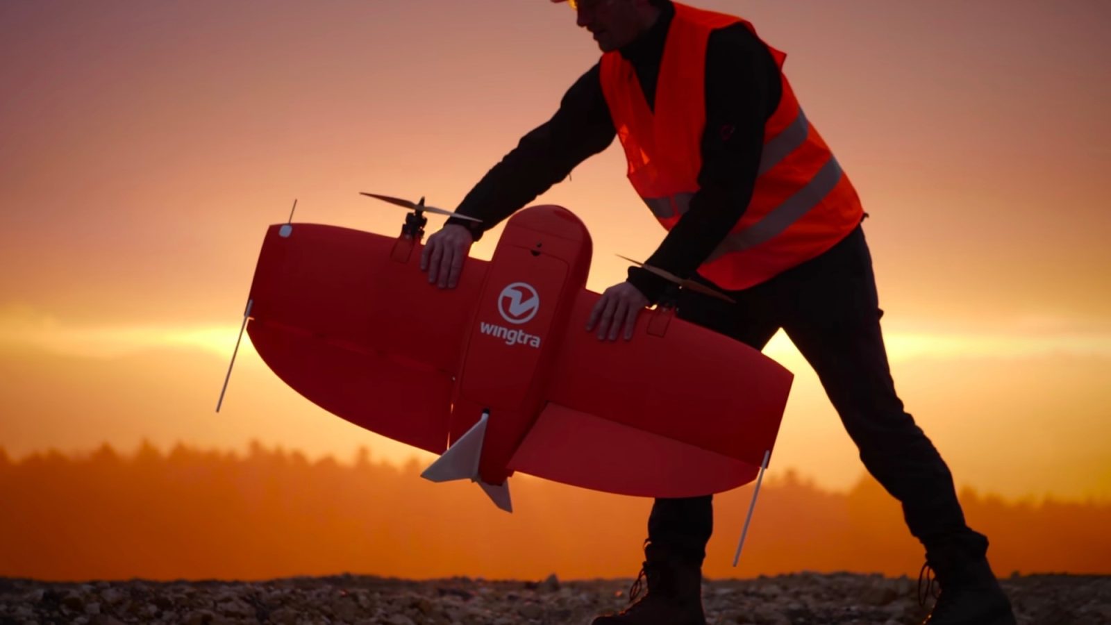
Swiss mapping, surveying, and modeling tech company TOPODRONE has introduced its AQUAMAPPER solution that adds underwater LiDAR and bathymetry capacities to the company’s range of drone-transported data collection equipment.
Expand Expanding Close